The Via Francigena of Sigerico
Come percorrerlo
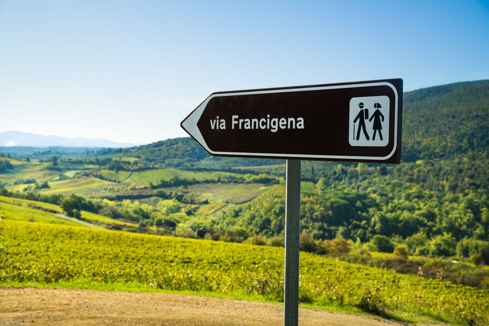
80
Distanza
1800
Durata
79
The Via Francigena of Sigerico
The Via Francigena has represented over the centuries, since the early Middle Ages, the itinerary followed by pilgrims from central-northern Europe, to reach Rome, the seat of the Papacy and the heart of Christianity.
What is known today as the Via Francigena is the 1,800 km itinerary. (80 stages) covered in 79 days by Archbishop Sigerico in the year 990 to return to Canterbury from Rome after the investiture of the Archbishop's Pallium by Pope John XV. Sigerico, at the invitation of the Pontiff, wrote down all the stages, one per day, which brought him back to Great Britain through Europe. His diary is therefore the most authentic testimony of the route of the Via Francigena from Rome to the English Channel of that era.
The appellation "Francigena" did not indicate only a devotional route for the exclusive use of pilgrims, but a road traveled by merchants, armies, politicians and men of culture, thus creating a primary channel of communication and exchange and allowing all those interrelationships which brought to the substantial unity of European culture between the tenth and thirteenth centuries.
With men and goods, the Via Francigena brought ideas, technical and ideological innovations, favoring the comparison and integration of the various cultural currents.
The Via di Sigerico thus becomes an opportunity to get to know the European cultural identity in its historical, artistic and religious aspects as well as a real opportunity to enhance the territory of the places crossed.
Along this route there were numerous stages for the refreshment of the Spirit and the body, for this reason within the territory it is still possible today to encounter a series of Romanesque testimonies that lead us to relive the suggestions of the time.
In any case, it is understandable that one cannot speak of the Via Francigena as a well-defined route, but rather as a set of roads and paths. The pilgrim's journey was therefore not a single itinerary, but a network of roads and paths used according to the seasons, political events and by the Religious Order of belonging of the wayfarers themselves who often encountered swamps, marshes, impenetrable stretches of wood, atmospheric conditions adverse, dangerous animals, banditry. These unforeseen events often forced pilgrims to look for easier and safer routes, thus creating countless local variations, without prejudice to the basic itinerary.
The official route, faithful to the one narrated by the Archbishop in his diaries, is divided into 79 stages and from Canterbury, crossing France and Switzerland, enters Italy to reach Rome. It has a length of 1,800 km and, in the Italian section, crosses seven regions - Valle d'Aosta, Piedmont, Lombardy, Emilia Romagna, Liguria, Tuscany, Lazio - and 140 Municipalities, for a total of 44 stages. The English Via Francigena winds along a short stretch (about 27 km), which goes from Canterbury to Dover, which coincides with the North Downs Way. After crossing the Channel Strait, the pilgrim lands in France, precisely in Nord-Pas-de-Calais. The other French regions involved in the route are: Champagne-Ardenne, Picardie and Franche-Comté. Leaving France behind, the Via Francigena crosses Switzerland in the cantons of Vaud and Valais.
The Via Francigena in Italy
Among the numerous "Romean" routes that reached the capital of Christianity from various parts of Europe and Italy, one of the most anciently documented is the itinerary known as the "Via Francigena" or via "francesca", that is, a road coming from France. Its origin dates back to the Lombard age: when in fact the Lombards in the century. VI established their dominion over northern and central-southern Italy, creating a kingdom with the capital Pavia, they found themselves forced, to reach their duchies beyond the Apennines, to seek a safe route, away from the Romagna and Ligurian itineraries, of Roman origin and certainly more comfortable but now controlled by the Byzantines, their irreducible enemies.
Thus they gave impetus to the route of Monte Bardone (Mons Langobardorum), between Fornovo, Berceto and Pontremoli, corresponding roughly to the current Cisa pass, through which to reach the ancient seaport of Luni, at the mouth of the Magra, and Tuscia. When the Franks took over the Longobards, the route was expanded and consolidated in the direction of France (hence the name of "francigena", attested for the first time, not surprisingly, in documents of this period) and in the direction of Rome and of the papacy, which had found precious allies in Charlemagne and the Franks. It was probably then that, with the consolidation of traffic in a north-south direction, pilgrimages to the sacred places of the Eternal City also gained a decisive boost. It must always be remembered, however, that it was not really a question of "a" road but of an "area-road", a set of routes used at different times and perhaps with different functions, depending on the types of traffic and the events political, topographical and climatic of the various zones.
Not just one Francigena, therefore, but "many" Francigenas, converging with each other in some nodal points.
The most popular "Francigene" crossings across the Alps were Monginevro and Moncenisio, converging, on the Italian side, in the road junction of Susa. Other access points were the Grande and Piccolo S. Bernardo, whose outlet on the Italian side is the Aosta Valley. Among all these passes, one of the most frequented by pilgrims was certainly that of Moncenisio, whose access route to Italy is marked by the very ancient abbey of Novalesa and by the Sacra di S. Michele, built near the place that saw the Charlemagne's army surprisely circumvent the barrier placed by the army of Adelchi, son of Desiderio, the last Lombard king, of Manzonian memory.
Other milestones were Pavia, the former Longobard capital, Piacenza, a very important road junction, Fidenza, a hub between the plain routes and the pass of Monte Bardone, and on the Apennine stretch, the cities of Fornovo and Berceto. Beyond the Apennines, the route touched Pontremoli and Luni. The decadence of the port of Luni, which took place starting from the sec. VIII, led to the development of Sarzana, Massa and Pietrasanta, which, located along the ancient route of the consular road Aurelia, became fundamental points of the Francigena transit.
After Pietrasanta, having left the coastal area, unsafe due to pirate raids, the most popular route passed through Camaiore, Lucca, Altopascio, a splendid example of one of the best organized assistance and hospitality centers in medieval Europe.
After Altopascio, the Francigena route touched the Val d'Elsa and Siena.
From there it joined the Roman Cassia, touching Acquapendente, Bolsena, Montefiascone, Viterbo, Capranica, Sutri, Monterosi. At La Storta, near Rome, pilgrims preferred to leave the Cassia, which crossed unhealthy and dangerous areas, to follow the ancient Via Triumphalis and arrived at the Vatican from Monte Mario, known as Mons Gaudii ("mountain of joy").
Access to the square of St. Peter's basilica was from the right side, from via del Pellegrino and from Porta Sancti Pellegrini along a stretch of road which, not surprisingly, was for a long time called Ruga Francisca, "road of the French".
On the Francigena, as on the Camino de Santiago, the common European civilization was built.
For these reasons, in 1994 the Council of Europe recognized the Via Francigena as a "European Cultural Itinerary", on a par with the Camino de Santiago to the tomb of the apostle James, defender of Christianity.
Share this article: